

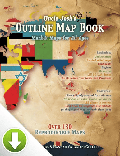
Uncle Josh’s Reproducible Maps
$19.95
Outline maps are a foundational part of teaching geography and history. Here are hundreds of maps to use year after year, regardless of topic or time studied. From drawing explorer’s routes to tracking hurricanes to depicting the rise and fall of empires, it’s here! Includes continents, ancient historical regions, important war arenas, each of the fifty states, and more! Rivers are lightly shaded and surrounding borders are visible. You’ve got the whole world covered! Reproducible pages.
For grades 3-12 | This is a digital-only resource.
Published by: GeoMatters
Product Description
Outline maps are a foundational part of teaching geography and history. Here are hundreds of maps to use year after year, regardless of topic or time studied. From drawing explorer’s routes to tracking hurricanes to depicting the rise and fall of empires, it’s here! Includes continents, ancient historical regions, important war arenas, each of the fifty states, and more! Rivers are lightly shaded and surrounding borders are visible. You’ve got the whole world covered! Reproducible pages.
The book edition contains 130+ reproducible blank grayscale maps. Used as a companion resource for Trail Guide to World Geography and Trail Guide to U.S. Geography.
You must be logged in to post a review.

Reviews
There are no reviews yet.