
The 50 States: Explore The U.S.A. with 50 Fact-filled Maps
$30.00
Explore all 50 states (plus D.C.) with beautifully illustrated maps packed with over 2,000 fascinating facts about history, culture, nature, and quirky state icons.
From ghost towns to bacon donuts, famous figures to must-visit landmarks, this engaging guide brings America to life with fun infographics, regional spotlights, and key historical moments.
Perfect for young explorers and curious minds—get ready to uncover the weird, wonderful, and inspiring stories that make each state unique!
For Grades 2+ (or family use) | Printed Hardcover Book | Published by Wide Eyed Editions
In stock
The 50 States: Explore The U.S.A. with 50 Fact-filled Maps
Embark on a Colorful Journey Across the USA!
Explore every state from Alabama to Wyoming with 51 beautifully illustrated, fact-packed maps that bring America’s history, culture, and landscapes to life! This engaging guide is packed with over 2,000 fascinating facts about the people, cities, nature, and historic moments that shaped the nation.
From ghost towns and swamp tours to bacon donuts and brainy berries, you’ll uncover the quirky, inspiring, and diverse stories that make each state unique. Along the way, discover:
- State icons highlighting famous landmarks, history, and culture
- Six inspiring figures from each state
- Key historical moments and state firsts
- Region spotlights for deeper exploration
- National parks, forests, and outdoor wonders
With fun illustrations, state flags, U.S. presidents, and surprising state connections (did you know Tennessee borders eight states?), this book is an exciting resource for young explorers and curious minds of all ages.
So grab your map, pack your bags, and get ready to discover the USA like never before!
1 review for The 50 States: Explore The U.S.A. with 50 Fact-filled Maps
You must be logged in to post a review.
Publisher : Wide Eyed Editions (May 7, 2024)
Language : English
Paperback : 112 pages
ISBN-10 : 0711291772
ISBN-13 : 9780711291775
Reading age : 8 years and up
Grade level : 2 – 5
You may also like…
-

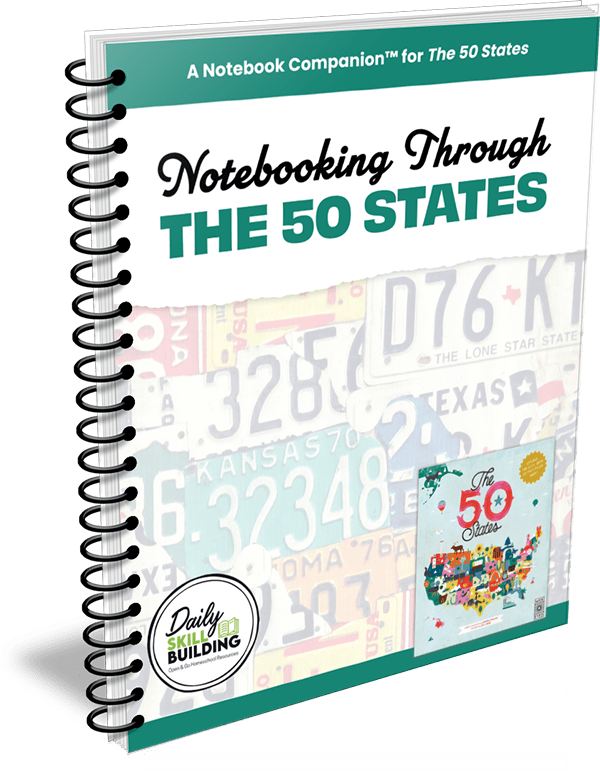
National Parks Notebook – A Notebook Companion™ for National Parks of the U.S.A.
$9.95*Digital Product
-
-


la.swart7 –
We ordered this book to take along with us on our road trip family vacation and it was such a fun book to read and even just page through as we crossed through several states to get to our destination. Both children and adults enjoyed learning from the beautiful pictures, engaging pages and key information.