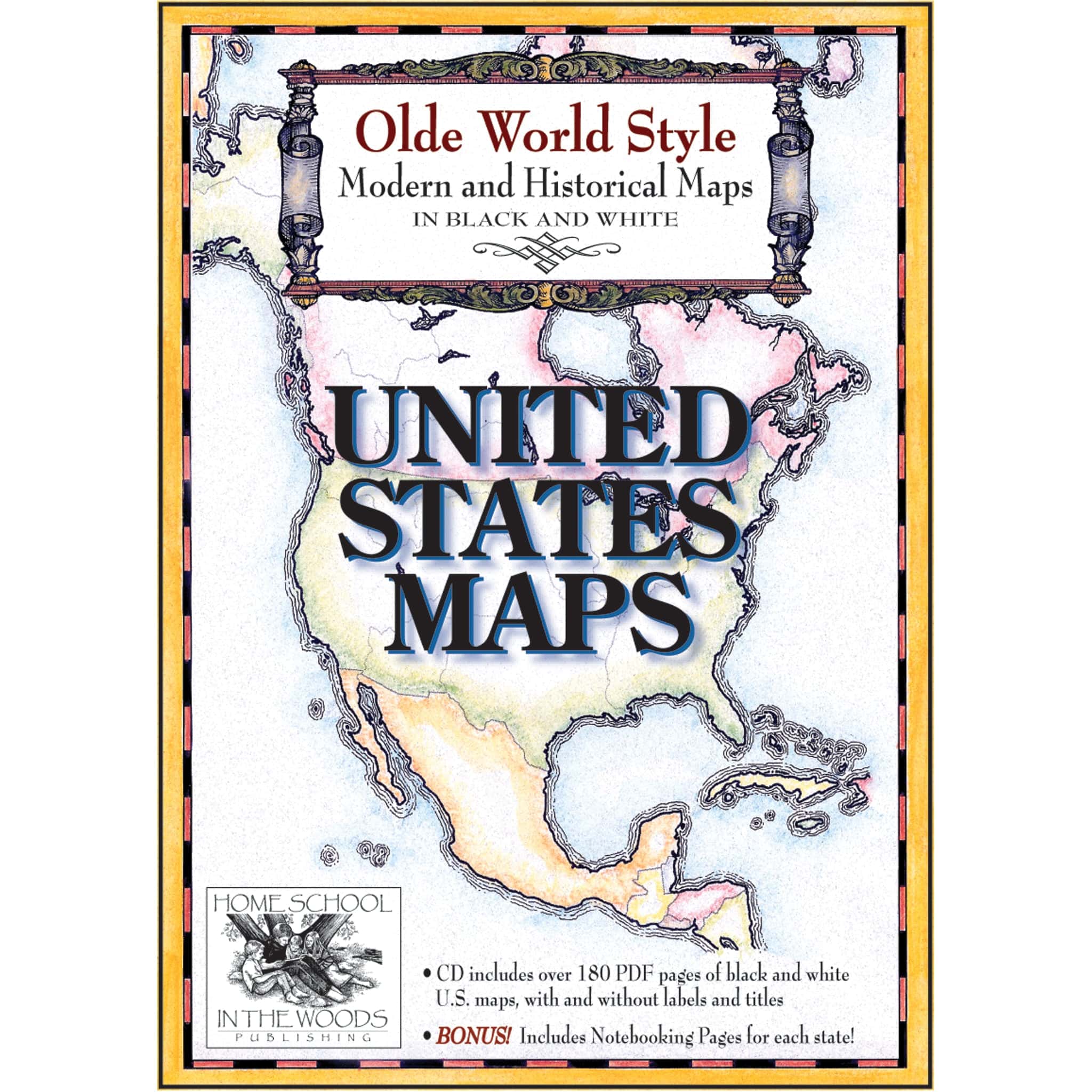

Maps: United States Maps
$19.95
Study all 50 states and U.S. history with detailed, customizable maps in three formats—plus historical maps, state fact sheets, and full-color flags. A versatile geography resource for grades K–12.
Digital only resource | Suggested grades: K–12
Published by Home School In the Woods
Maps: United States Maps
Explore U.S. Geography and History with the United States Maps Set!
The United States Maps set includes detailed maps of all 50 states, Washington D.C., and over a dozen historical maps to support your study of American history. Each state map is offered in three formats—labeled, unlabeled, and outline—giving you the flexibility to color, label, or customize based on your learning goals.
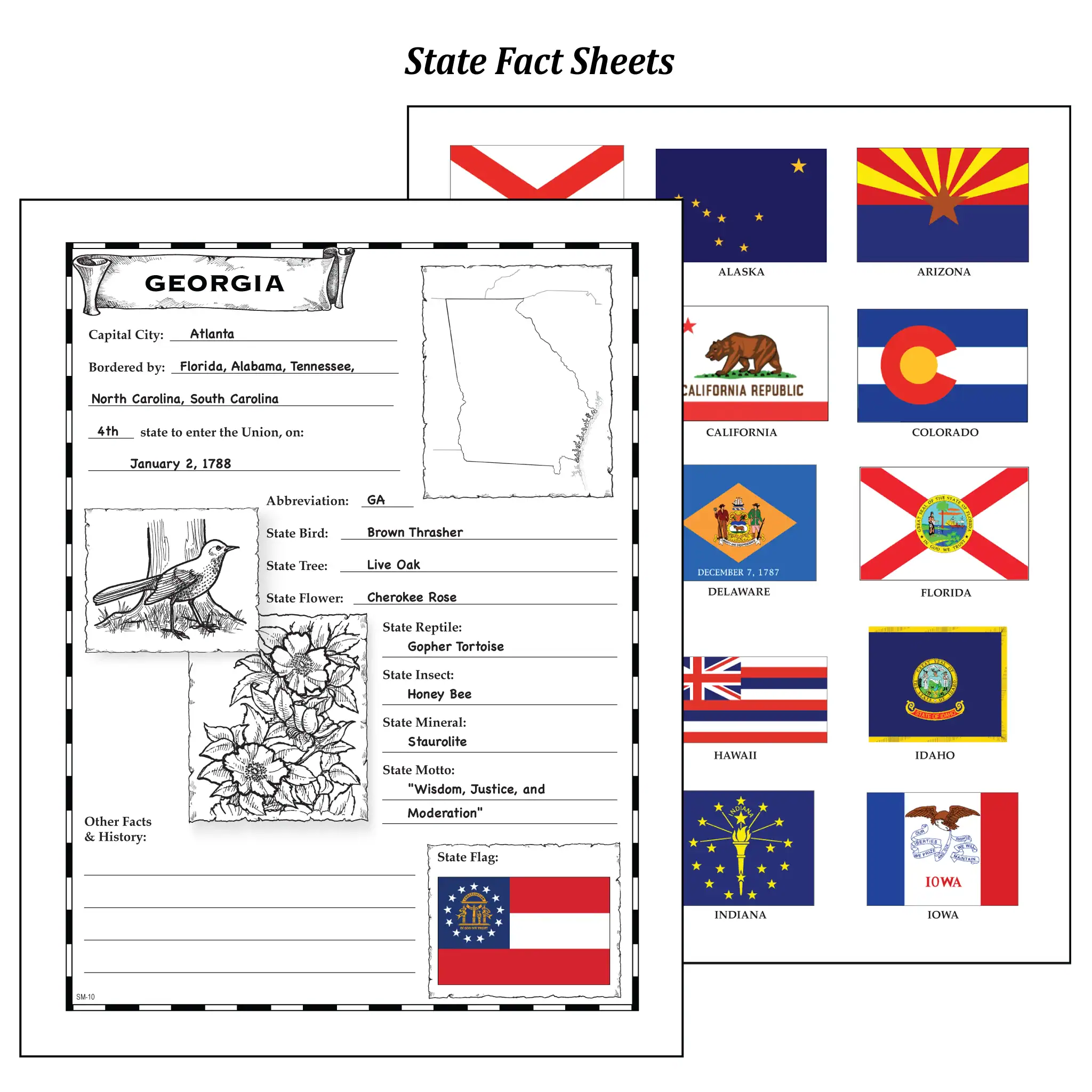
Dive deeper by marking agriculture regions, landmarks, reservations, and more! Historical maps cover topics like Native Tribes, the 13 Colonies, and the expansion of the U.S., making this a rich resource for any American history study.
Designed for grades K–12, this resource includes:
- Maps of all 50 states, Washington D.C., and key historical regions
- Multiple formats: labeled, unlabeled, and outline
- Over a dozen maps covering key points in U.S. history
- Bonus: State fact sheets, full-color state flags, and teacher keys
(Supplies not included.)
You must be logged in to post a review.

Reviews
There are no reviews yet.