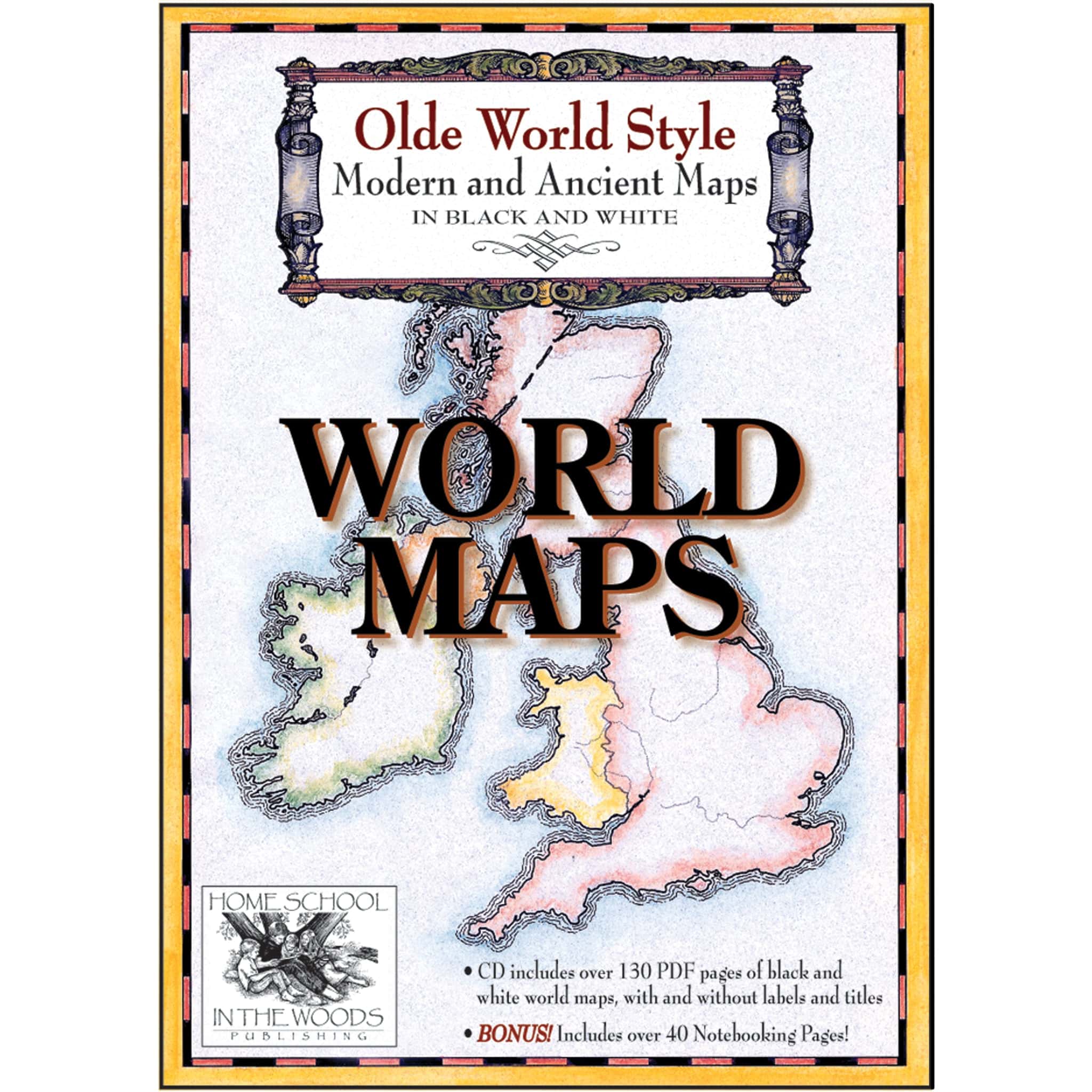
Maps: World Maps
$19.95
Study world geography across the ages with ancient and modern maps in multiple formats. Includes notebooking pages, fact sheets, and full-color flags—perfect for grades K–12.
Digital only resource | Suggested grades: K–12
Published by Home School In the Woods
Maps: World Maps
Explore Geography Through Time with the World Maps Set!
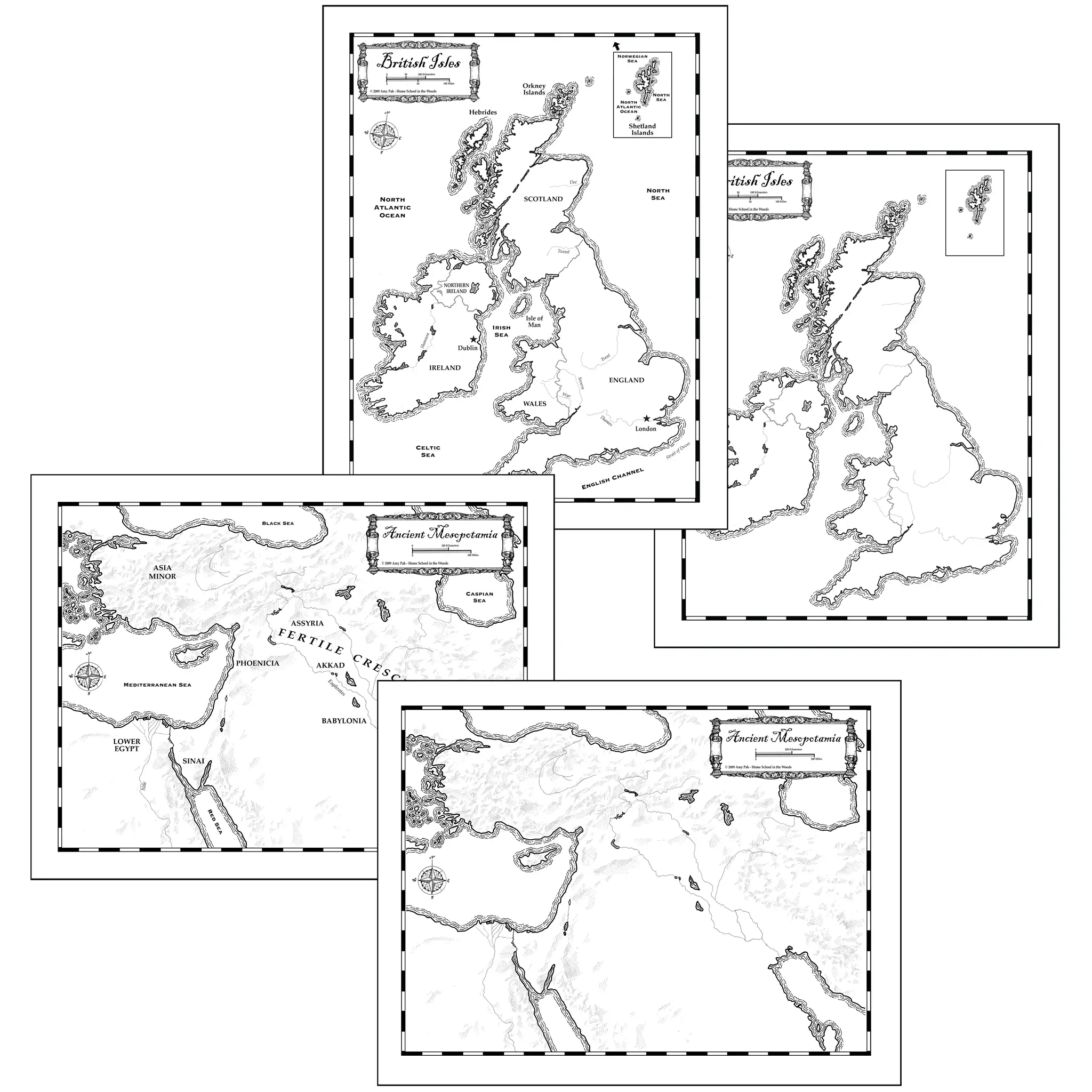
The World Maps set includes maps in both Ancient and Modern styles, giving students a unique way to study geography across time. Locate countries, cities, landforms, rivers, and bodies of water while exploring how the world has changed throughout history!
Maps are offered in a variety of formats—with or without labels, borders, and with a blank title frame so you can customize them for projects like the Crusades, Silk Route, Barbarian Invasions, weather patterns, and more. Modern maps feature political boundaries, while ancient maps are presented in physical formats.
Designed for grades K–12, this resource includes:
- Ancient and modern world maps in multiple styles
- Customizable formats for a variety of projects
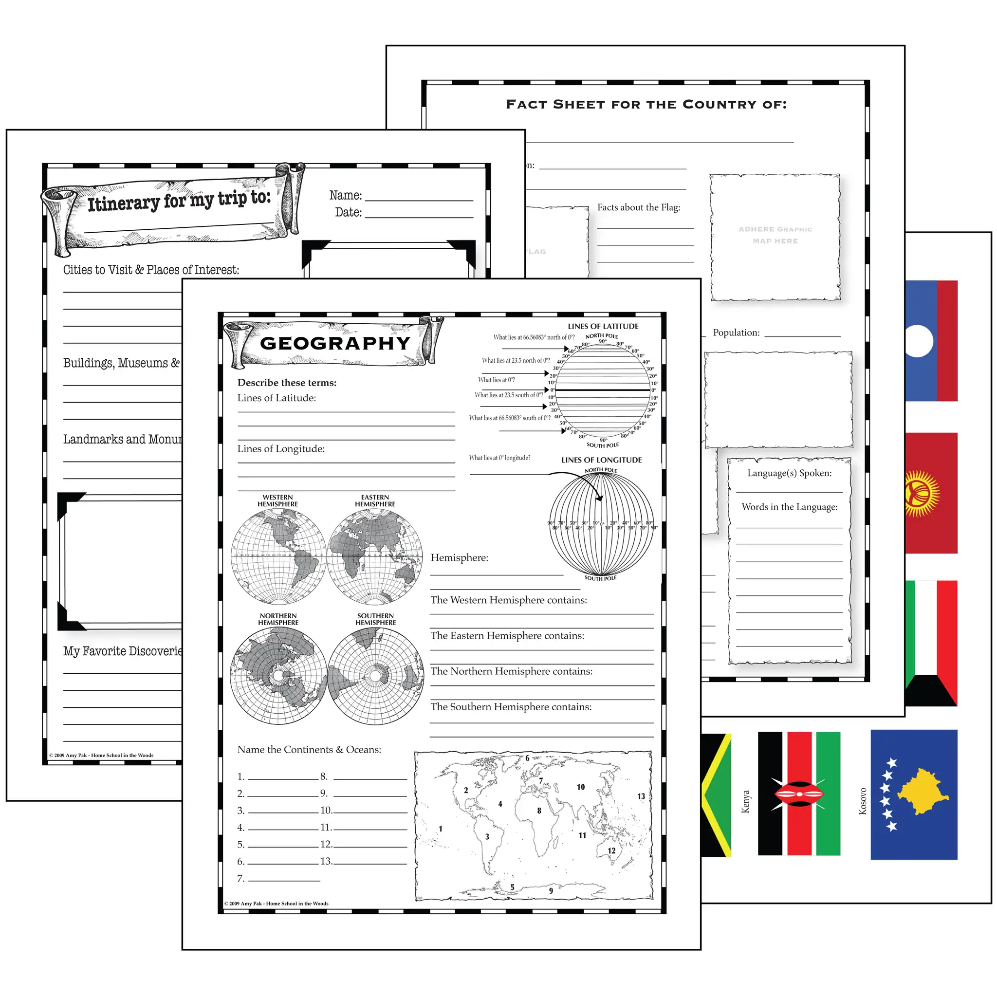
- Over 40 notebooking pages with report forms, fact sheets, and creative templates
- Bonus: Full-color country flags and graphic icons to use with your fact sheets
(Supplies not included.)
You must be logged in to post a review.

Reviews
There are no reviews yet.